ElimuZA Access to Education
Understanding Time Zones Grade 12 - Tourism Grade 12 Study Guide
Share via Whatsapp Join our WhatsApp Group Join our Telegram GroupUnderstanding Time Zones
Developed by E.Engelbrecht
WHAT DOES THE CAPS REQUIRE?
CURRICULUM AND ASSESSMENT POLICY STATEMENT
| 9 | Map work and tour planning | World time zones:
|
| 10 | Map work and tour planning | Calculations of world times when travelling between countries:
|
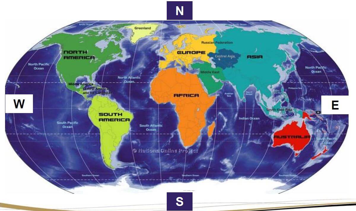
WORLD MAP & CARDINAL POINTS
EARTH REVOLVES AROUND THE SUN
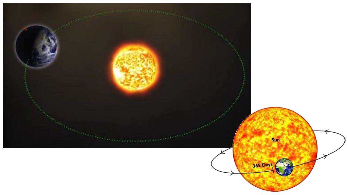
ROTATION OF THE EARTH

DAY AND NIGHT ON EARTH
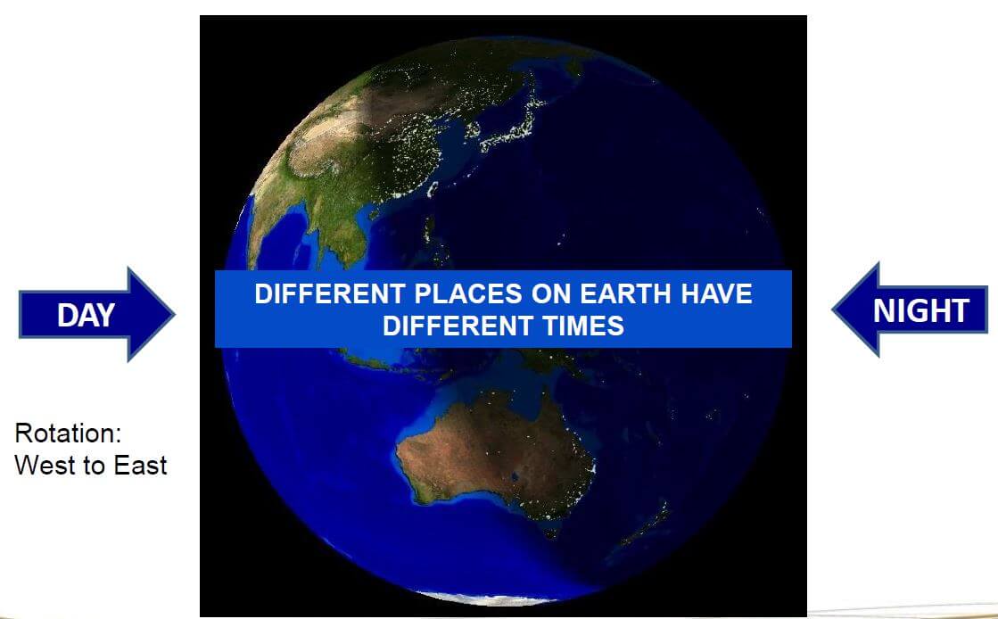
DEMONSTRATING TIME ZONES

LINES OF LONGITUDE
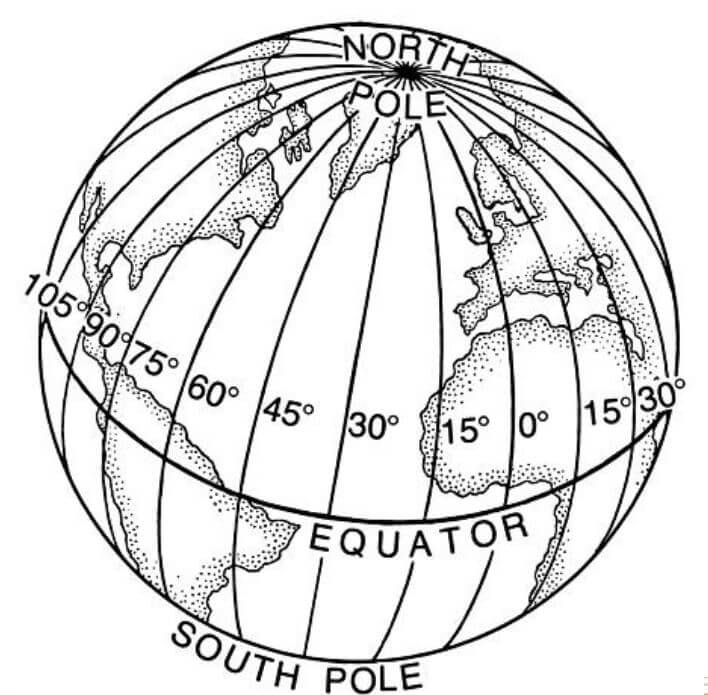
24 LINES OF LONGITUDE
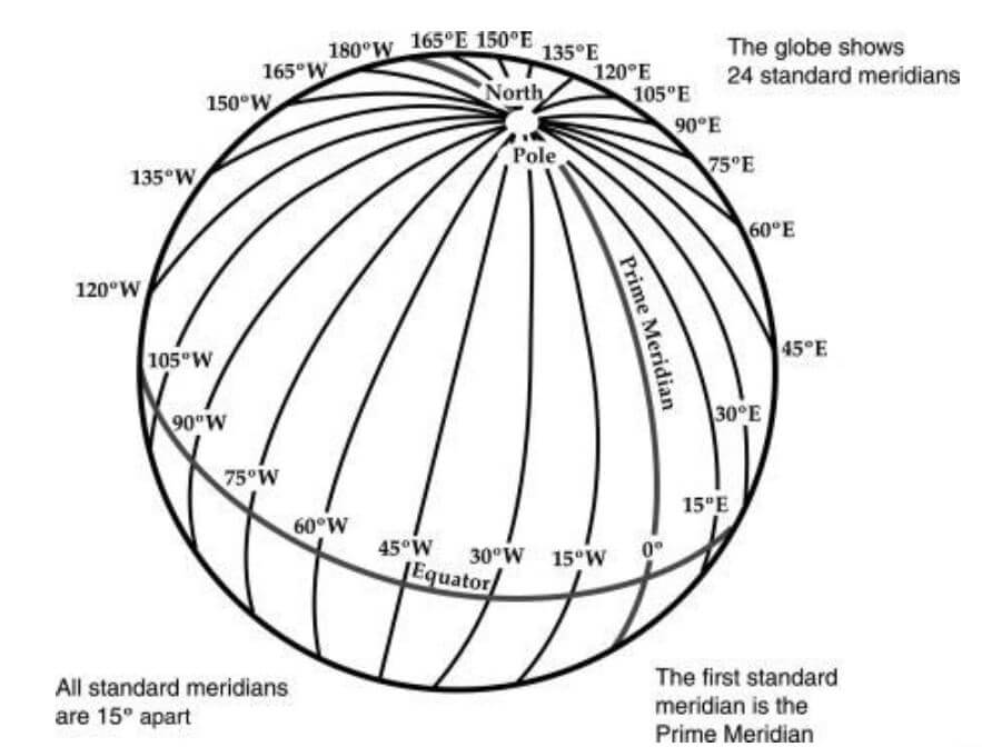
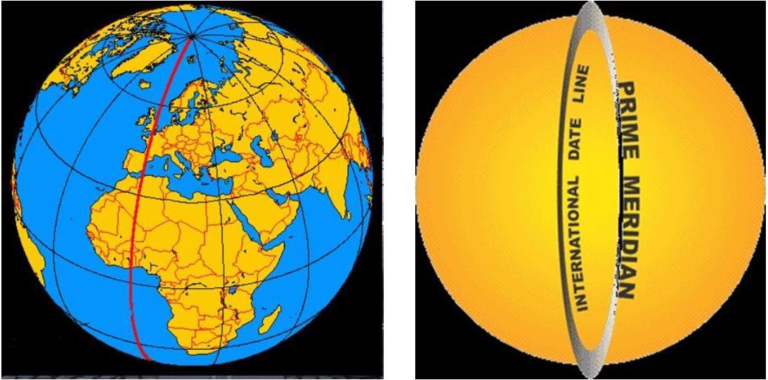
THE 0º LINE OF LONGITUDE
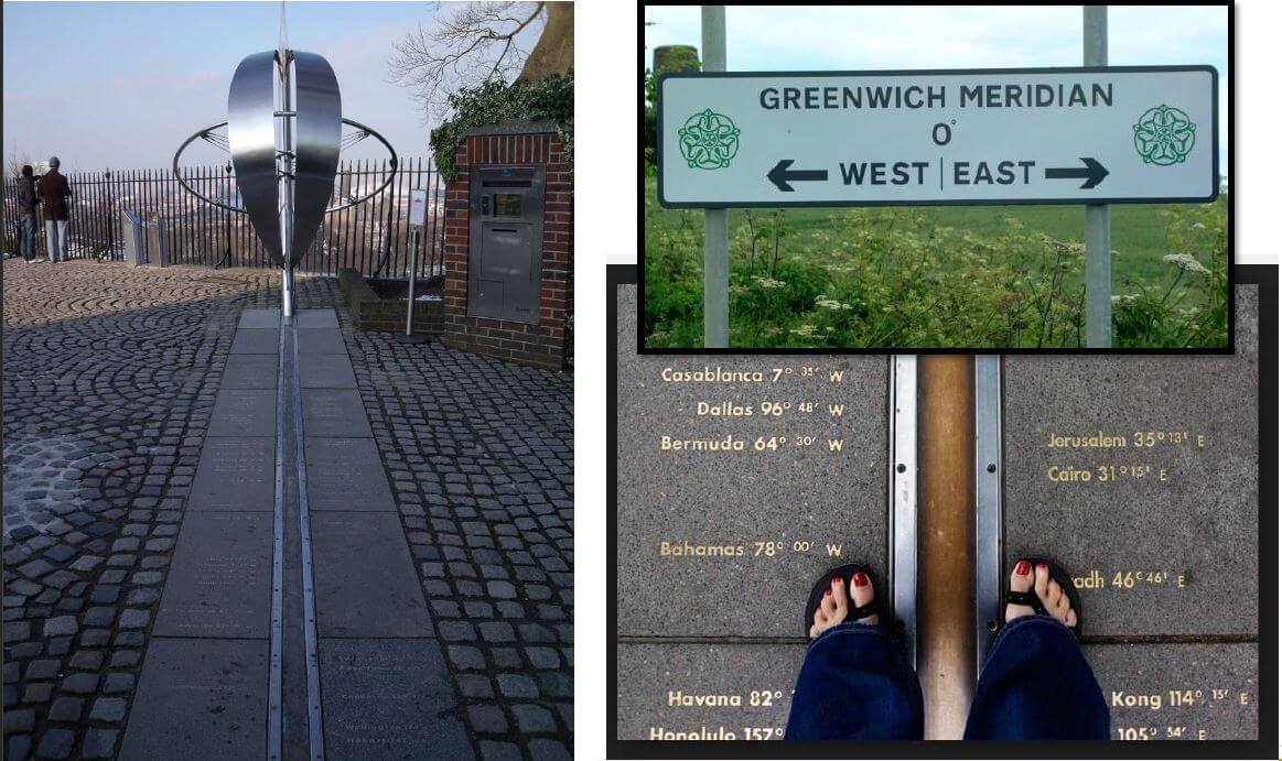
GREENWICH
INTERNATIONAL DATE LINE (IDL)
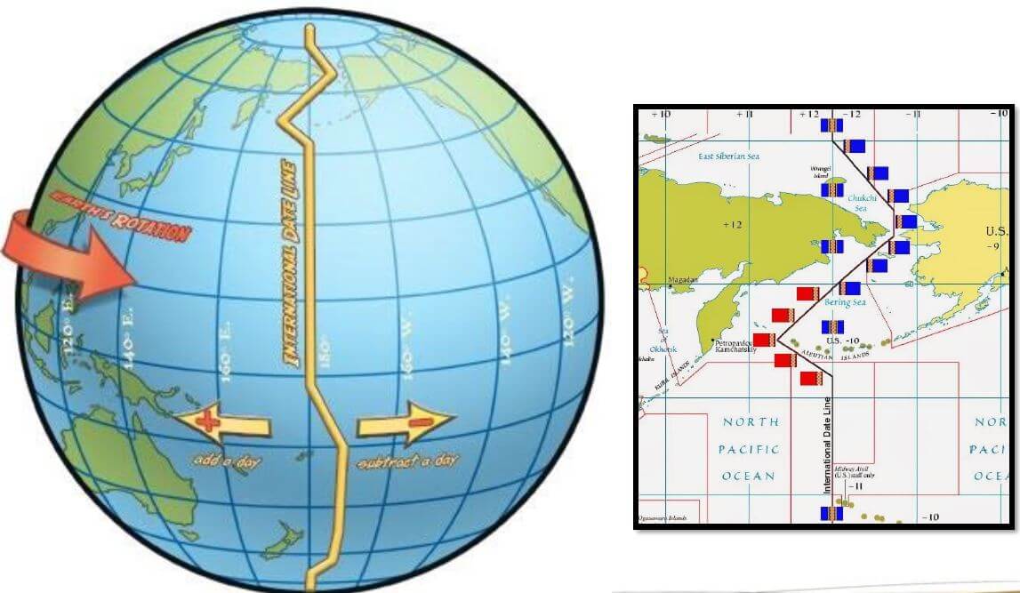
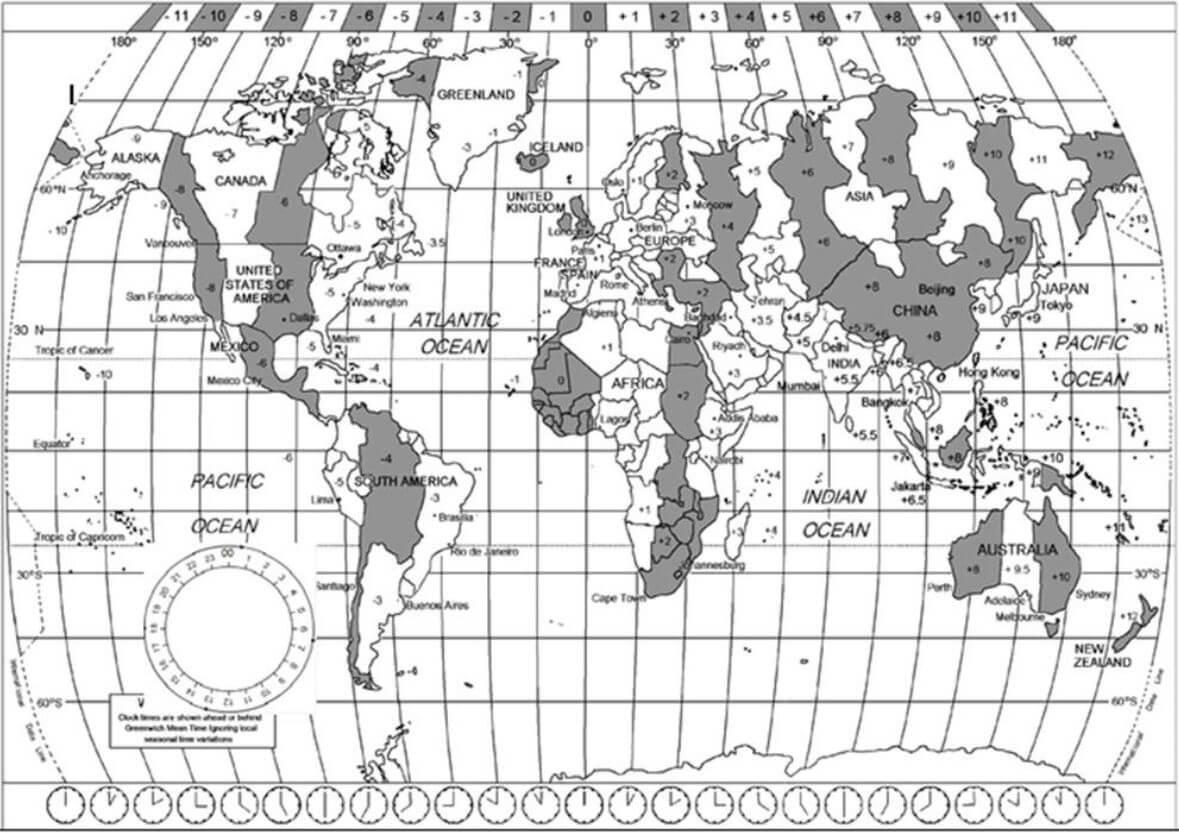
TIME ZONE MAP
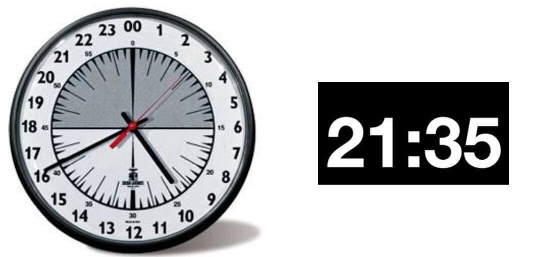
THE 24-HOUR CLOCK
TIME DIFFERENCES
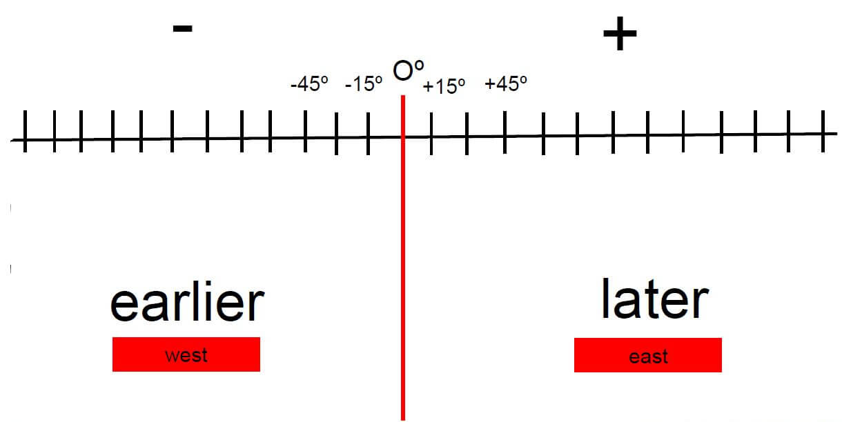
TIME ZONE LINE

DAYLIGHT SAVING TIME (DST)
A way of making better use of the natural daylight by setting your clock forward one hour during the summer months, and back again in autumn.
Daylight saving time is in use between March and April and ends between September and November as the countries return to Standard Time.
JET LAG / JET FATIQUE

JET LAG / JET FATIQUE
Thank You!
Published in Tourism Study Guide and Notes Grade 12